by Scudder Wagg
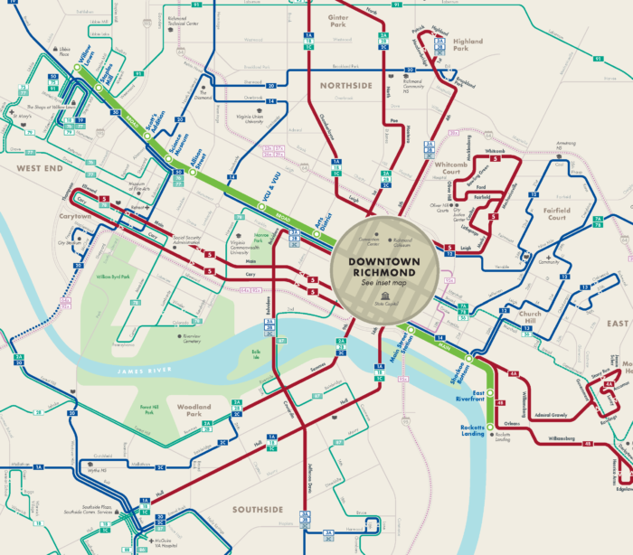
It’s been nearly three months since the launch of the Pulse Bus Rapid Transit line, and the bus network we helped design, for the City of Richmond and its transit agency.
The early news looks positive for ridership. For some context, the redesigned network was intended to shift the balance of the network from about 50% ridership focus to about 70% ridership focus.
Prior to the launch of the new network, weekly ridership was averaging about 141,000. The first week of the new network saw huge ridership, 226,000 for the week, but that was driven by free rides. Immediately after the launch, ridership remained near or above the pre-launch ridership levels (if you ignore the July 4 holiday week). And since August, ridership has climbed to about 157,000 per week, an 11% gain.
Any gain at this point is good news. It’s normal for there to be a slight dip in ridership just after implementation, as people take time to adjust to the new network, and for ridership to then grow gradually over two to three years.
Some of this gain is attributable to the new partnership with Virginia Commonwealth University (VCU). VCU has partnered with the transit agency by investing $1.2 million per year in exchange for transit passes for all students, faculty, and staff. VCU was drawn to this partnership in part by the obvious value that the new BRT and Route 5 (part of our network design) provided to the University. And its willingness to invest in the service is a good sign of the renewed confidence that many have in the usefulness of transit service in Richmond.
Since launching new GRTC network, ridership overall is up! Week before launch we averaged 141,000 riders. Now we’re up to about 152,000-162,000 weekly. @VCU also represents about 10% of local ridership (Sept 1-15), excluding @GrtcPulse. @VCU riders about 20% of Rt 5 (Sept 1-15) pic.twitter.com/BdQXnrPtAe
— GRTC (@GRTCTransit) September 18, 2018
That confidence is reinforced by the expansion of service that happened this past weekend in adjacent Henrico County. The County decided this past spring to add evening and weekend service on three routes and extend service to Short Pump, the largest suburban retail and jobs center in the region. That expansion launched on September 16.
More time and data will help make clear how much ridership growth is attributable to network design and how much is attributable to other factors. But the early signs are positive, and we hope they continue in that direction and spur additional improvements in transit for Richmond.
Scudder Wagg, who played a central role in the Richmond project, manages the US East Coast practice for Jarrett Walker + Associates.