Learn this term now: tactical transit.
(I wish I’d invented it, but the cool peeps at TransitCenter did, in their great overview today.)
If you know what tactical urbanism is, tactical transit is the same principle applied to transit. So it means something like this: Don’t just fight for giant infrastructure projects that take many years to fund, approve, and complete. Try things now, with what you have, in ways that (a) make a measurable improvement and/or (b) inspire people to see what’s possible. And often: Use temporary materials, as appropriate, to present things as experiments, so people can experience them before passing judgment on them.
The TransitCenter folks are thinking about street infrastructure when they use the term. Tactical urbanism creates parks, paths, and other infrastructure experimentally, using temporary and removable materials like planter boxes and folding chairs.
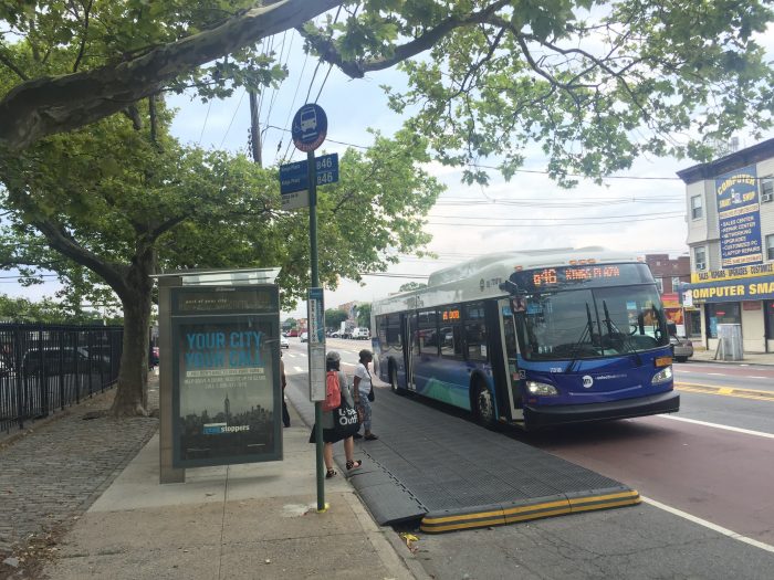
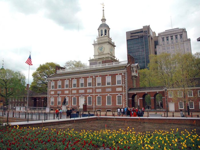
Tactical transit does the same for bus stops, bus lanes, and other simple facilities. Street-running Bus Rapid Transit, after all, doesn’t have to start as a huge infrastructure project with years of delay for environmental review. A city can make bus lanes and stops quickly, with paint, signs, curbs, and other simple things, along with law enforcement.
Tactically Temporary Transit
Experimental transit infrastructure is an especially powerful technique because local interest groups along a street tend to wildly overestimate the impact these projects will have on traffic, parking, and local retail. Huge, irreversible infrastructure projects are more likely to trigger emotional reactions, in part because they are polarizing, like any binary choice. Your only options are support or oppose, and as we all know, that pushes lots of people to oppose.
Obviously, tactical transit is a very useful new term, but not a new idea. Transit facilities have been part of tactical urbanism for a while, and we even did it now and then back in the dark ages before we had words for it.
Construction projects have long presented opportunities for tactical transit. When you’re going to experience a sudden loss in road capacity because of a construction project, temporary bus lanes often make sense. Sometimes, when the project’s done, people don’t want these temporary lanes removed.
Permanent Tactical Transit?
Of course, the term “tactical” doesn’t have to imply temporary. Lasting permanent change is usually the goal of tactical transit. Presenting the change as experimental or temporary is a tactic — not just a political tactic but also a practical one. Some changes really don’t work, or need a lot of tweaking, so doing them temporarily, where that’s realistic, can be a great way to make sure we get them right. Anyone who’s encountered expensive but poorly planned infrastructure can see why this is a good thing.
We can extend the term further. An effective frequent bus network is tactical, compared to a giant infrastructure project, because its costs are diffuse and it can be tweaked after implementation. But as always, great tactics serve a strategic purpose. All the network redesigns I’ve done are parts of strategies, with clear goals for permanent transformation. Tactical transit should not mean quick fixes for some urgent problem without regard to long-term results. Such fixes are sometimes necessary, but smart strategy, manifested through smart tactics, is always playing a longer game.
 Building Communities, Enabling Contact