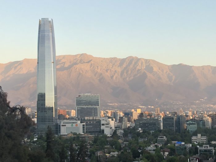
Santiago resembles Los Angeles in geography and climate, but the mountains are much higher, the city is denser, and of course there is much more poverty (not pictured).
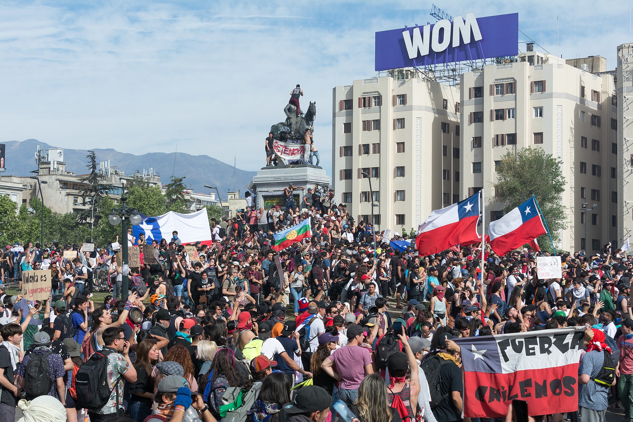
My planned week in Santiago, intended to be for the CEDEUS conference, was wildly rearranged by the civic uprising that’s transforming Chile, which until a month ago was famously the most stable country in Latin America. Bigger events than ours had to be cancelled, since nobody could guarantee security in the center of Santiago while the protests took their uncertain course.
You have probably heard about the appalling vandalism of the Santiago Metro and the destruction of businesses. You may not have heard that these are massive protests whose underlying grievances have broad public support, even though almost everyone deplores the destruction. Suddenly, the word on everyone’s lips is desigualdad — inequality.
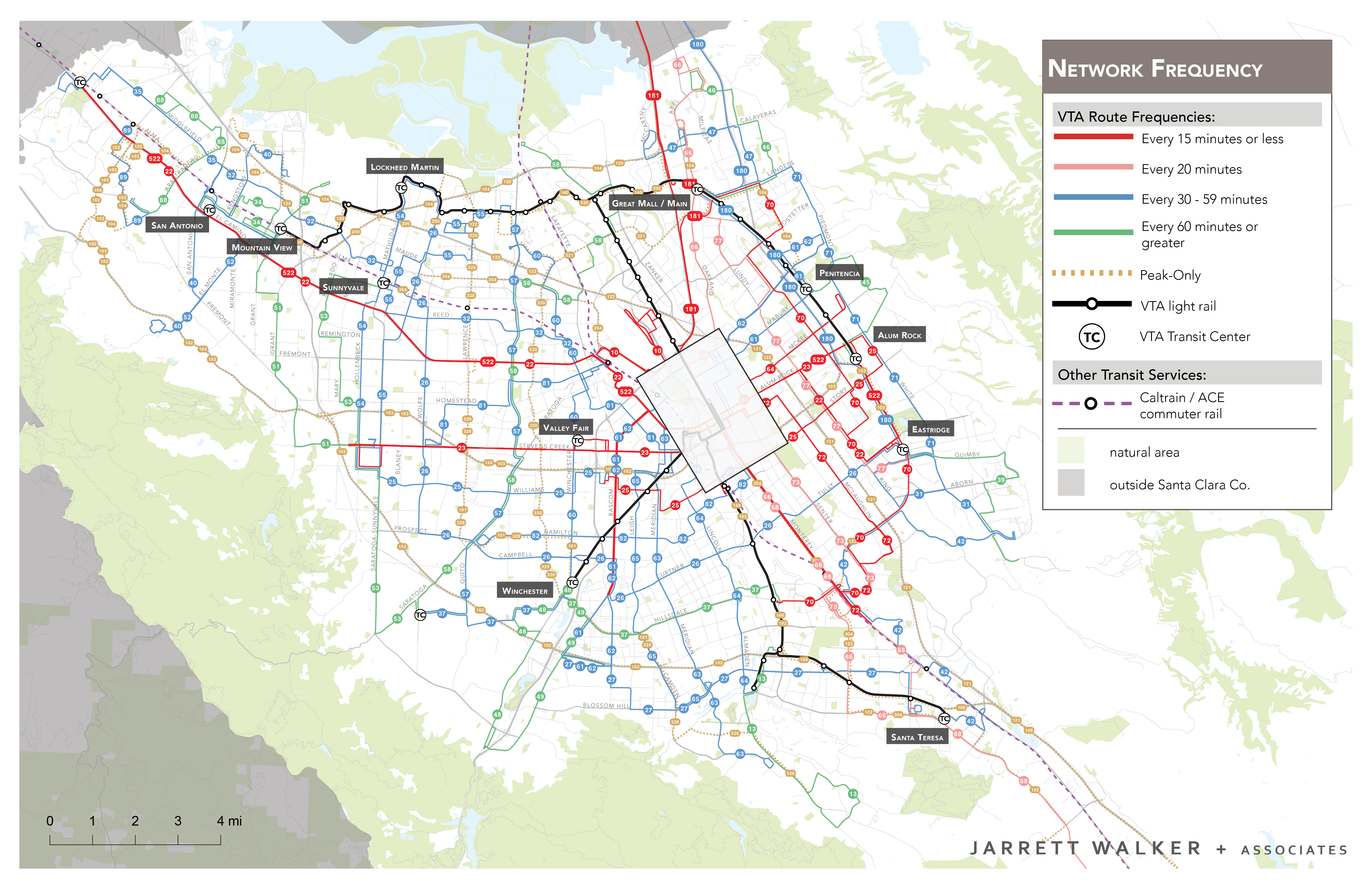
But of course immobility is part of inequality, so around the edges I thought I might still have something to offer. Some low income people in Santiago are over 90 minutes travel time from their jobs, giving them no time to either seek a better life or care for their families. As always, this is both a transport problem and a land use problem, one I did my best to explain in purely geometric terms.
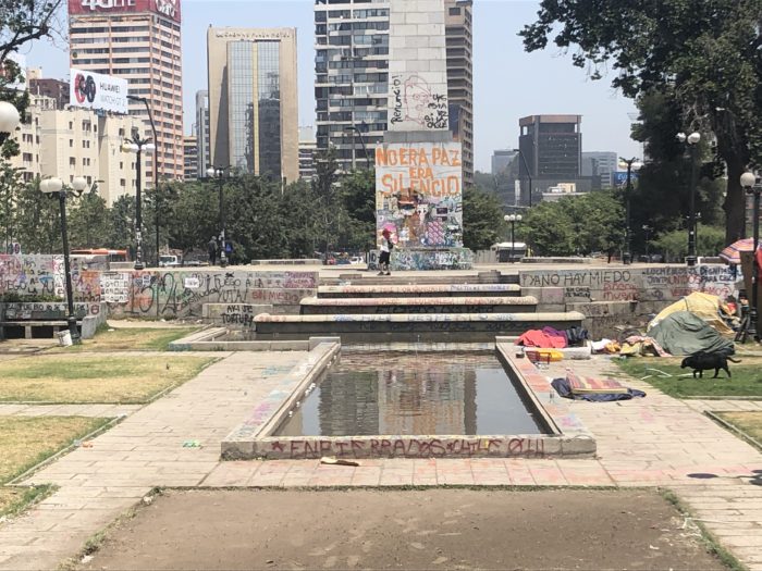
The graffito in yellow reads: “It wasn’t peace, it was silence.”
My host Juan-Carlos Muñoz of the Catholic University of Chile made an extraordinary effort to make good use of my time, even though nothing could be planned for certain.
We had planned an overnight trip to Concepción, for example, to speak at the university there, at the invitation of transport engineering professor Juan Antonio Carrasco. But Juan Carlos had to call me the day before to tell me there would be a general strike the next day, so while we could fly there tonight nobody knew if we would be able to get back tomorrow. Also, there would be no public transport and students would be in the streets, so nobody knew if anyone would come to my talk. He invited me to cancel, though he encouraged me to go.
The courageous, dashing consultant that I’d like you to think I am paused for effect and then said, in a gravelly voice: “Let’s do it.” In fact I leaned hard on Juan Carlos’s optimism, and I’m glad I did. Our spare time in Concepción was consumed by the work of getting around barricades and fires, so the only sightseeing we could do in that beautiful city was to gaze in shock at the looted and burned big box stores. In the end, I was delighted to see over 40 people, including journalists, show up for my talk, and asked great questions. Later I did a similar presentation back in Santiago (summarized in Spanish here) to a similar number. [1][2]

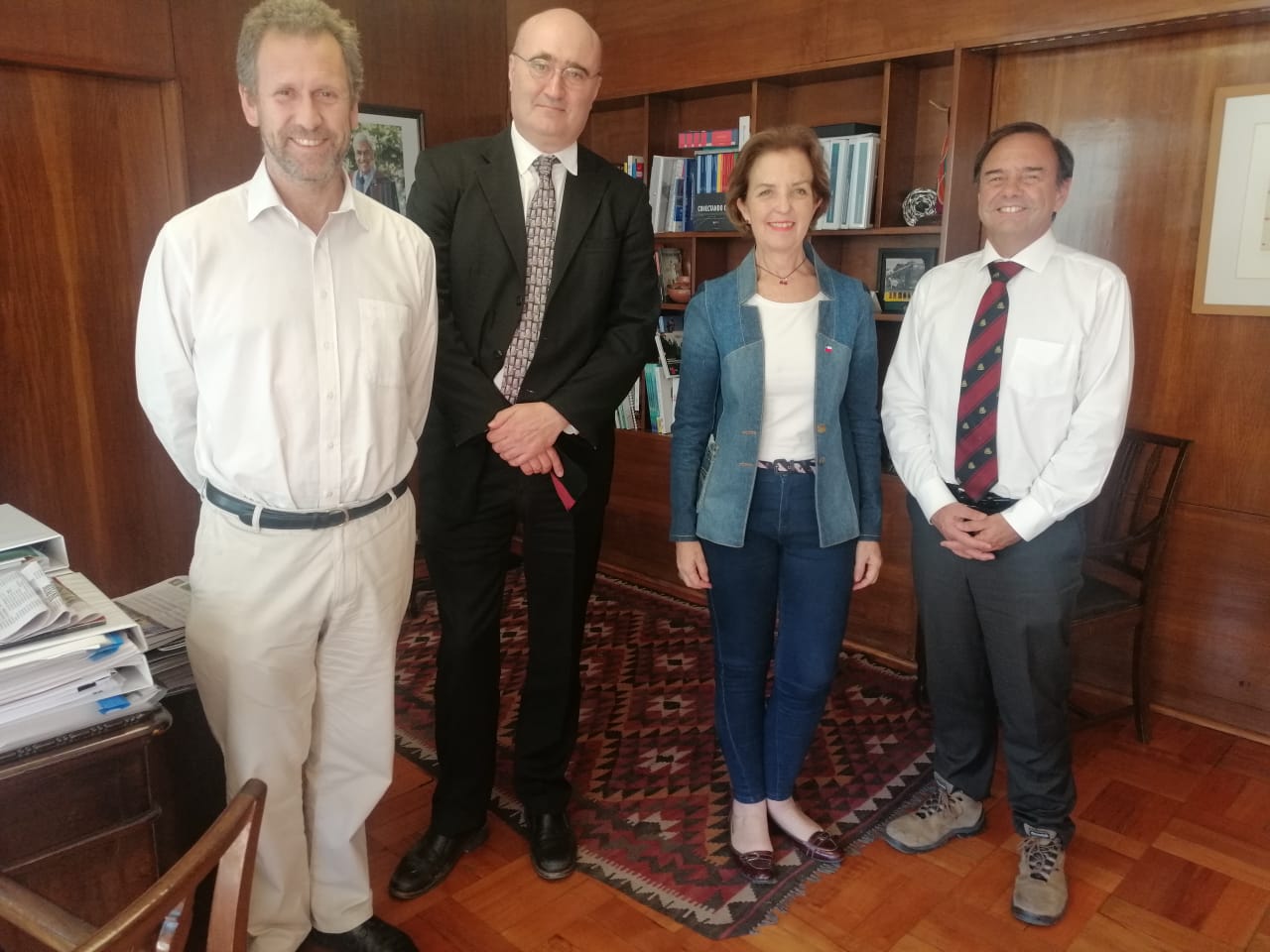
From left, Professor Juan Carlos Muñoz, I, Chile’s Minister of Transport and Telecomminications Gloria Hutt and Vice Minister José Luis Domínguez.
And there were great casual chats, including with activists from the sustainable transport advocacy group Muevete, and with dedicated and energetic staff from the government public transport authority, Transantiago. Finally, beyond my expectations, I had an hour with Chile’s Ministry of Transport Gloria Hutt to talk about immobility in the context of the dramatic transformations in public transit that they are trying to achieve. [3]
Finally, there was a series of conversations with Lake Sagaris, one of the most fascinating people I know. She’s now a Canadian-Chilean transport professor, but she was also one of the key journalists and authors who chronicled the Pinochet dictatorship and its aftermath. Today, she’s a leading expert in the now-urgent task of fostering a constructive and inclusive public conversation.
One of the most remarkable features of the current crisis is the spontaneous generation of many thousands of cabildos, locally generated groups of people, beyond the usual interest groups, who gather to discuss the crisis and paths forward. These groups, often organized by local government, are widely viewed as credible, and their ideas are strongly influencing the conversation as presented in the media.
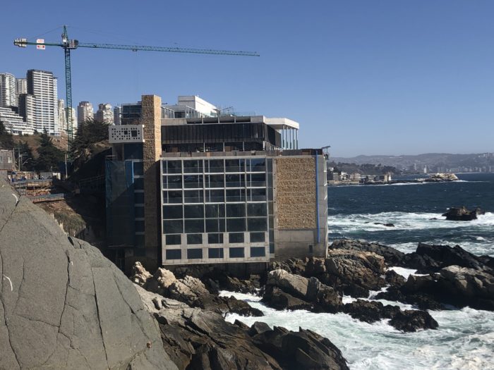
Land use planning in Concón, Chile: a little too laissez-faire?
With such fractured but intense impressions, what can I say about Chile in this remarkable time?
The word revolution comes to mind but is too strong, and premature. The Chilean media tend to call the recent events el estallido (explosion, outbreak, shattering), which conveys the force and disruption without implying a point of view on the grievances or a belief about how things will turn out. The conservative government is showing openness to dramatic change, including a new Constitution, so perhaps things will evolve in a peaceful way.
Mostly, Chile is just deeply uncertain. Uncertain in daily life: Will we be able to travel tomorrow, and if so will we be able to come back? Can a meeting in inner Santiago be planned for next week? Will anyone come? Will a random strike close a national park, stranding all the international visitors staying nearby? And more deeply: How much more violence and destruction lies ahead? How real are the promised transformations? What will the new constitution say? What kind of country will Chile be five years from now?
Chile presents a rapid alternation of the utterly normal and the utterly disrupted, and nobody knows where the future equilibrium is. If there’s reason for optimism, it’s that there seems to be widespread consensus to deplore the violence but insist on the urgency of change. And as always, equality isn’t just about how much money people have. It’s also about mobility, access to opportunity, so land use and transport are at the center of it all.
Notes
[1]
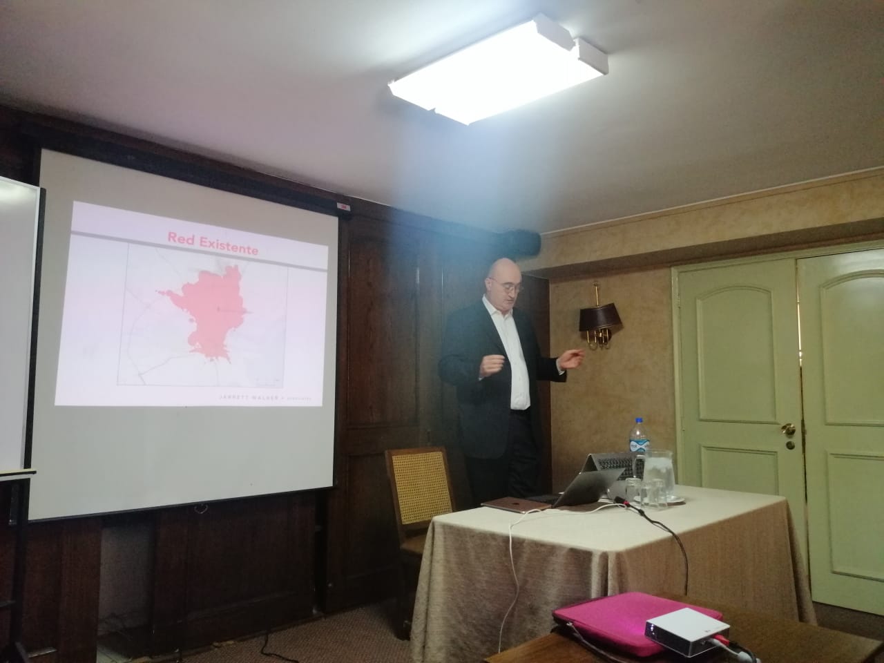
The courageous, dashing consultant that I’d like you to think I am did all these events in fluent Spanish, despite not having studied the language at all until 6 months ago. In fact, I was at a stage where I could give a prepared speech in Spanish but not really take questions in it. [2] This is what I look like when I’m doing that. Walking a tightrope, basically, or trying to invoke any available deity to give me the next word when I need it. Note the heavenly light of inspiration slightly missing me to my right:
[2]
A further challenge to comprehension is that the Chilean accent tends to omit vowels (which, to be fair, is a common complaint about the American accent in English.) Thus I had conversations like this:
I: A qué hora devolverán mi ropa mañana? [when will they return our laundry tomorrow?]
She: Awa owo.
I: Um. Otra vez? [again?]
She: Awa owo! Eight!
I: Ah! “A las ocho?”
She: Sí! Awa owo!
This endless humiliation had its uses, of course. It kept me from feeling that I could figure out the place too easily, and so slowed the inevitable slide from curiosity into judgment.
[3]
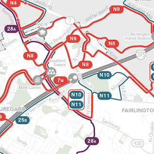
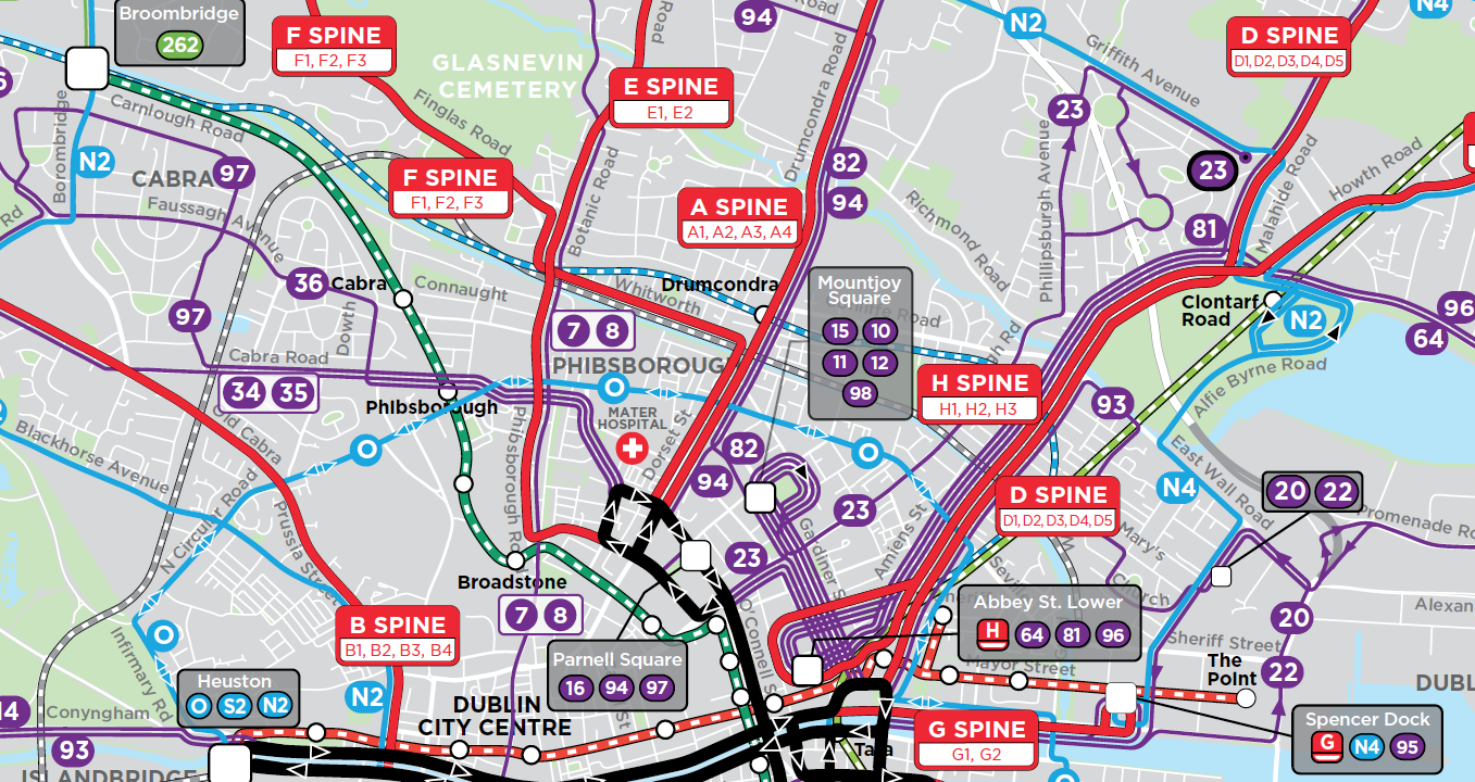
Chile is going through the same process that I was part of in Australia, New Zealand, and Ireland: bringing over-privatized bus services together into a single network that government controls and markets, while private companies still compete to operate the services. It’s the only way to get a coherent and efficient network design that maximizes mobility while also yielding the benefits of competition in operations.